South Florida wildfire rain is anticipated to offer much-needed relief to two active blazes, though the forecast for Tuesday, May 13, 2026, also carries a marginal risk of severe thunderstorms that could complicate containment efforts. The region, battling persistent dryness and soaring temperatures, is looking to the heavens for aid in suppressing fires that have consumed thousands of acres across Broward and Miami-Dade counties.
The CBS News Miami NEXT Weather team is closely tracking two significant wildfires. The Max Road Fire, located in western Broward County near US-27, has expanded to over 11,000 acres, though emergency services report it is 60% contained. Smoke from this fire, which was initially drifting west and southwest on Tuesday morning, is expected to shift northward and northeast later in the day as wind patterns change. Further south, the 172nd Avenue Fire near Florida City in Miami-Dade has burned 300 acres and is 50% contained. This blaze has significantly reduced visibility, prompting officials to close Card Sound Road.
The Dual Nature of South Florida Wildfire Rain
South Florida is currently experiencing a period of mainly dry and very warm conditions, with Tuesday’s forecast predicting high temperatures in the upper 80s and low 90s. Factoring in humidity, the “feels like” temperature is expected to reach the mid- to upper 90s, exacerbating the wildfire situation. The development of scattered showers and thunderstorms on Tuesday afternoon is therefore a welcome prospect, promising to assist in the containment of these fires and provide some climatic respite.
However, this anticipated rainfall is not without its complications. A marginal risk of severe thunderstorms has been issued for Tuesday afternoon, primarily affecting interior portions of South Florida and the east coast metropolitan areas. The primary threats from these storms include strong, gusty winds, which could create erratic and unpredictable behavior for the ongoing wildfires, potentially undoing hard-won containment progress. Large hail and isolated tornadoes also cannot be ruled out, adding another layer of concern for residents and emergency responders.
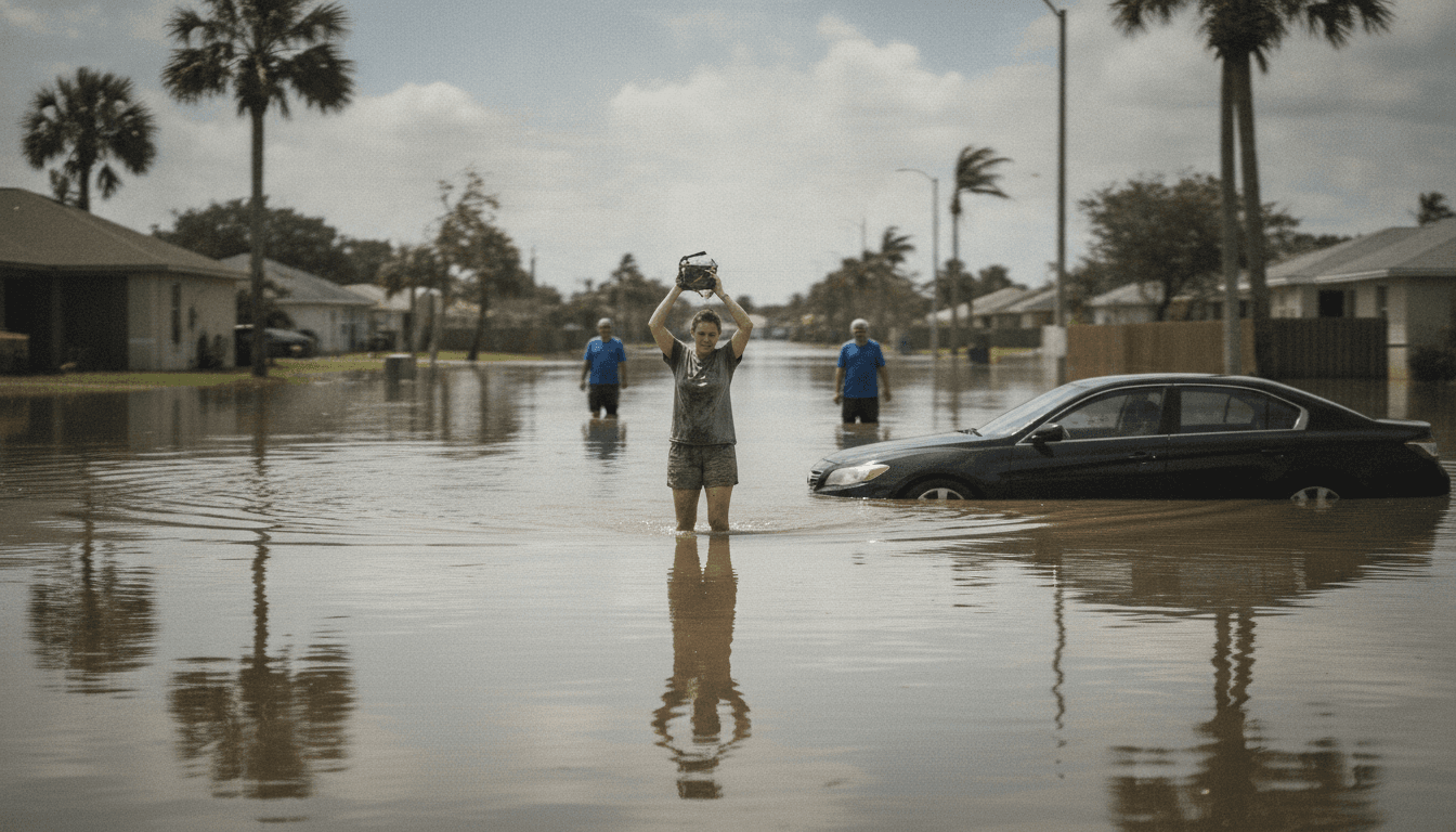
Beyond the direct impact on wildfires, there is also a marginal risk (Level 1 out of 4) of excessive rainfall for eastern metropolitan areas. Some storms are expected to produce heavy downpours, leading to the potential for localized flooding. This underscores the complex and often contradictory nature of weather events in a climate-vulnerable region like South Florida, where relief from one extreme can quickly morph into another challenge.
Broader Environmental Context and Future Outlook
The recurring cycle of wildfires followed by intense rainfall and flooding highlights South Florida’s increasing susceptibility to extreme weather events, a trend that climate scientists attribute to broader global climate patterns. While the immediate focus is on the Max Road and 172nd Avenue Fires, these incidents serve as a stark reminder of the delicate balance between natural fire regimes and human infrastructure in a rapidly developing region. Effective wildfire management strategies and robust urban planning are becoming ever more critical.
“The anticipated South Florida wildfire rain presents a critical paradox: a much-needed dousing for fires, but also a potential for severe weather that could intensify dangers and localized flooding. This duality underscores the complex climate challenges facing the region.”
Looking ahead, the unsettled weather pattern is expected to persist through Wednesday, with continued chances of showers and storms. High temperatures will remain in the upper 80s. Passing storms are possible on Thursday, but the rain chance is forecast to drop by Friday, with only spotty showers and storms likely through the weekend. This fluctuating forecast means that while immediate relief from the fires is possible, sustained efforts will be required to manage both the residual fire risks and the potential for flooding.
The events unfolding in South Florida underscore the multifaceted challenges posed by a changing climate. The simultaneous threat of wildfires and severe thunderstorms, with their respective dangers of erratic fire behavior and localized flooding, demands agile and comprehensive responses from local authorities and residents alike. As the region moves through this period of climatic volatility, the need for adaptive strategies to mitigate both fire and flood risks becomes increasingly paramount for the long-term resilience of its communities and ecosystems.