A massive Florida drought relief effort is now underway as a slow-moving storm system begins to traverse the state, promising the most significant rainfall in months and offering a critical respite from escalating wildfire threats. For an extended period, the Sunshine State has endured a relentless dry spell, transforming landscapes into parched expanses, causing lake levels to recede, and casting a shadow of wildfire danger over its extensive pine barrens and scrublands. This significant atmospheric shift, commencing on Wednesday, April 8, 2026, marks a pivotal moment for Florida’s environmental and economic stability.
The current moisture deficit in Florida is profound, with the state experiencing its worst drought in a quarter-century. Since the beginning of 2026, many regions have received only a fraction of their typical rainfall, with some areas reporting totals 25% to 33% below long-term averages. This prolonged dryness has left approximately 80% of the state under “severe” or “extreme” drought conditions, the most critical categories monitored by the U.S. Drought Monitor. This week’s storm system, however, represents a major break in this alarming pattern.
The Geography of the Rain: From Panhandle to Keys
Unlike the fast-moving cold fronts that typically cross Florida during winter, this system is stalling, allowing moisture-rich air from both the Atlantic and the Gulf of Mexico to pool over the peninsula. AccuWeather Senior Meteorologist Brett Anderson highlighted the potential for substantial environmental relief. “Our team of forecasters expects 1-2 inches of rain along the Florida Atlantic coast and across much of South Florida from Monday to Thursday, which will be good news for areas under severe to extreme drought,” Anderson stated. He cautioned, however, that “some locations could see repeating thunderstorms deliver 4-6 inches of rain, which may lead to flooding in poor drainage areas.”
The impact of this slow-moving storm will vary across Florida’s diverse geography. In the northern counties and the Panhandle, where the drought has been particularly acute, this rain is a lifeline for local ecosystems. Streams and river levels in these regions have plummeted to historic lows, affecting both wildlife and municipal water supplies. Central Florida, including the Orlando metropolitan area, will likely experience intermittent but heavy rainfall, posing challenges for the tourism sector, with visitors advised to prepare for “washout” conditions due to training thunderstorms.
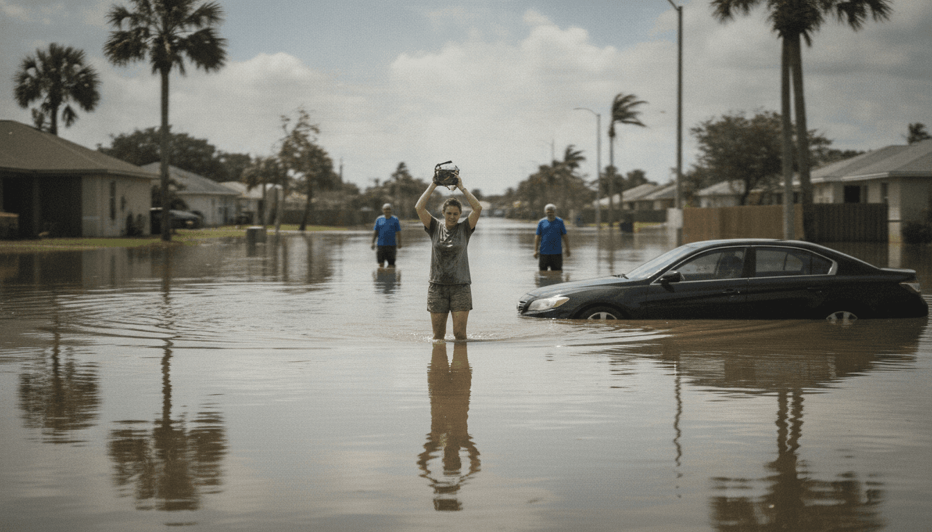
South Florida, encompassing Miami-Dade and Broward counties, faces unique challenges. With much of the region sitting just above sea level and relying on complex canal and pump systems for water management, the 4-6 inches of rain forecast for certain areas could quickly overwhelm drainage infrastructure. Miami, already prone to “sunny day flooding,” faces a significantly increased risk of street flooding with the addition of a slow-moving storm.
Florida Drought Relief Diminishes Wildfire Risk
One of the most critical benefits of this week’s rain is the immediate reduction in wildfire risk. Florida’s wildfire season typically peaks in the spring when rising temperatures coincide with the tail end of the dry season. The parched vegetation acts as a ready fuel source for lightning-induced fires or accidental human-caused ignitions. The incoming moisture will help “green up” the landscape, increasing the fuel moisture content in forests and grasslands. This makes it much harder for fires to start and, crucially, easier for firefighters to contain them.
“This long-duration onshore wind event will bring rough surf and dangerous rip currents as many people vacation in the state and locals return to the beaches,” Anderson warned.
Forestry officials have been on high alert, and while this single storm system will not completely erase the long-term drought, it provides a much-needed buffer as the state approaches its traditional summer rainy season. However, the relief is not uniform; areas further north, particularly in southern Georgia and parts of the Carolinas, are expected to miss out on the heaviest totals from this specific system, potentially escalating wildfire risk there.
Beyond the immediate rainfall, coastal areas will experience the storm’s “fringe effects.” A long-duration onshore wind event is unfolding along the Atlantic beaches, with winds averaging 15-30 mph and gusts up to 40 mph. This will lead to rough surf and dangerous rip currents, posing significant hazards to residents and tourists. Beach erosion and minor street flooding are also possible, especially around high tide, including in Miami. Fortunately, the storm’s timing avoids a collision with “King Tides,” which are not scheduled until the third week of April, averting potentially significant coastal inundation.
The Science Behind the Sluggish Storm
From a meteorological perspective, the behavior of this storm is a classic example of an “omega block” or a stalled front. Typically, the jet stream, a fast-moving river of air high in the atmosphere, acts as a conveyor belt, pushing weather systems from west to east. When the jet stream develops large, stationary loops, weather systems can become trapped. In this instance, a plume of tropical moisture has been tapped and funneled directly over Florida. The absence of a strong atmospheric “push” to move the system out into the Atlantic means the clouds linger, resulting in the “repeating thunderstorms” mentioned by Anderson. A slow-moving storm has more time to dump its moisture over a single spot, which is the primary driver of the localized flooding concerns. The economic and agricultural implications for Florida, particularly the citrus industry, are substantial, with this rainfall offering a crucial lifeline after prolonged drought conditions. This environmental shift could significantly impact crop yields and water management strategies across the state.
The arrival of this slow-moving storm system marks a critical turning point for Florida, moving it from a state of acute drought and heightened wildfire risk towards much-needed environmental recovery. While the immediate challenges of localized flooding and coastal hazards remain, the long-term benefits of replenishing water supplies and mitigating fire threats are paramount for the state’s ecological health and economic resilience. This event underscores the delicate balance of Florida’s climate and the profound impact of weather patterns on its future.